
Editor’s Note: Agri-Pulse and The Chicago Council on Global Affairs are teaming up to host a monthly column to explore how the U.S. agriculture and food sector can maintain its competitive edge and advance food security in an increasingly integrated and dynamic world.
Hundreds of millions of people around the world and in the U.S. go to bed hungry every night as they do not have reliable access or are unable to afford enough food to feed themselves and their families. Food security is a huge global and national issue that has only worsened with the COVID-19 pandemic and is expected to exacerbate as the world’s population continues to grow. So, why should American farmers care about global food security, and what is their role in supporting it?
American farmers are global leaders in innovation and adopting new technologies, not only for increasing yields and for sustainable production practices, but also for remote monitoring of crops. These technologies developed with the help of American farmers are reducing extreme price volatility episodes around the world, helping not only U.S. and global consumers but also the American farmers themselves.
With the input of American farmers and through relationships with global consortium partners, NASA Harvest - NASA’s Food Security and Agricultural Program - is developing new tools that enhance crop productivity, sustainability, and the understanding of where and how crops are produced around the globe. Using Earth observation technologies, producers now have a better understanding of yield factors such as weather patterns and can plan the optimal time to sow their land. Using Internet of Things (IOT) and GPS technologies, producers can use precision agriculture to specifically apply only the minimum amount of fertilizer, herbicide, and irrigation, saving on farming costs and increasing profits. Once everything is in the ground, farmers can remotely monitor how the crops are developing from home, which can save busy farmers time and resources. “High-resolution, up-to-date satellite images could allow me to survey my fields in 2 hours rather than 2 days by pinpointing the hotspots that need inspection before I start driving,” Chip Councell, a 6th generation farmer and owner of Councell Farms in Maryland, told NASA Harvest researchers.
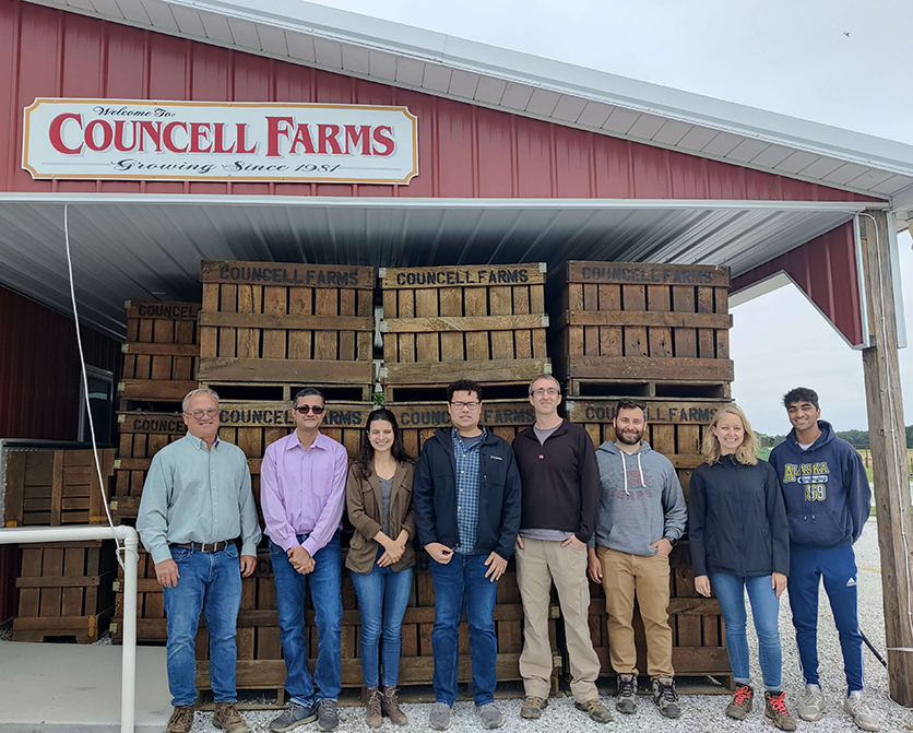
The NASA Harvest team with Chip Councell, from Councell farms
Using remote sensing, farmers can even estimate the potential yield they can expect at harvest time months in advance of actual harvesting dates. Such tools are extremely important for successful financial planning. While those crops are still developing, we can use Earth observation technologies to monitor agro-meteorological conditions such as temperature and precipitation, and their impacts on crop conditions - all of which help us understand if today’s conditions are following the average trends seen in previous seasons. If anomalies occur, the data can warn us well in advance of a potential problem at harvest, which enables earlier mitigation actions and increases market transparency.
Crop production estimates play an important role in market transparency, reducing price volatility in different markets, both domestically and internationally, which highlights the need for accurate, cost-effective, and frequent agrifood system monitoring. Remote sensing technologies provide key pieces of information for analyzing and developing estimates at different scales for crop area and yield, making use of NASA satellite data from missions such as MODIS, Landsat-8, and SMAP, with additional launches on the way (e.g., NISAR, Landsat-9).
International communities, such as the Agricultural Market Information System (AMIS), have been launched by the G20 in an effort to monitor commodity price volatility. For example, AMIS publishes the GEOGLAM Crop Monitor for AMIS in their monthly reports as a way of providing more transparency into agricultural markets. Timely and accurate assessments of crop harvest quantities can have a positive impact in avoiding extreme price volatility that can impact US farmers. Additionally, the early warning community (including the GEOGLAM Crop Monitor for Early Warning) is able to have a better understanding of the current situation of crop conditions on the ground in highly vulnerable food insecure countries thanks to remote sensing technologies. These technologies can be utilized to provide early warnings in advance of severe shocks like droughts and floods allowing governments and the humanitarian agencies to more efficiently and effectively allocate food aid where and when needed.
U.S. farmers are not immune to the effects that a changing climate has on agricultural production, including a notable increase in extreme weather events such as drought, flooding, and damaging storms. At a national level, having accurate and timely information helps policymakers to enact more suitable mitigation plans in case they need to take action if there is an unusual shock to the food system (e.g., extreme weather events, food price changes, a global pandemic, etc.), not only for countries whose economies depend on those crops to be exported but also those countries who rely on imports for their food security. Most experts agree that to meet the global food demand amidst a changing climate and growing population, farming practices must adapt to become more resilient and sustainable, positioning the U.S. to lead the way as a major agricultural player and data-rich country. For U.S. farmers, increasing productivity and sustainability in their fields using new technologies generates a unique opportunity of transferring and exporting that knowledge into less developed countries where many households rely on agriculture for their livelihoods. Luckily, satellite-derived Earth observations have seen significant advances in the last decade and are poised to be operationalized in support of this global food security effort.
It is clear that for American farmers, global food security is important and that they serve a role in supporting it through the transfer of knowledge on productivity and sustainability as well as increased market transparency. The U.S. is in a position to pave the way innovatively and sustainably for a food secure future, with help from the hardworking farmers on the ground and satellite data from space. Engaging with U.S. farmers as innovative research develops into new technologies is essential to driving meaningful change with benefits reaching beyond borders.
About the authors: Dr. Catherine Nakalembe is an Associate Research Professor at the University of Maryland. Catherine is the NASA Harvest Africa Program Director and a member of the NASA SERVIR Applied Sciences Team on which she serves as the Agriculture and Food Security Thematic Lead. She is a 2020 Africa Food Prize Laureate for her dedication to improving the lives of smallholder farmers by using satellite technology to harness data to guide agricultural decision-making. Catherine has broad research interests including applications of satellite remote sensing and machine learning to agriculture and food security, land use and land-use change mapping, water resources, and climate change, and supports capacity-building in the use of remote sensing for agriculture monitoring and research. Additional contributors include: Brian Barker, Estefania Ines Puricelli, Hannah Kerner, Christina Justice, Mary Elizabeth Mitkish, and Inbal Becker-Reshef.
For more news, go to www.agri-pulse.com.