
|
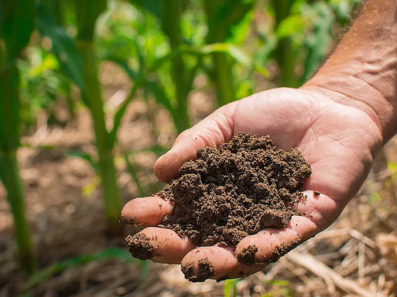
A new digital tool aims to make conservation planning easier for conservation districts, technical service providers, Natural Resources Conservation Service program specialists, and farmers by harnessing artificial intelligence, mapping technologies, and information about a wide array of practices.
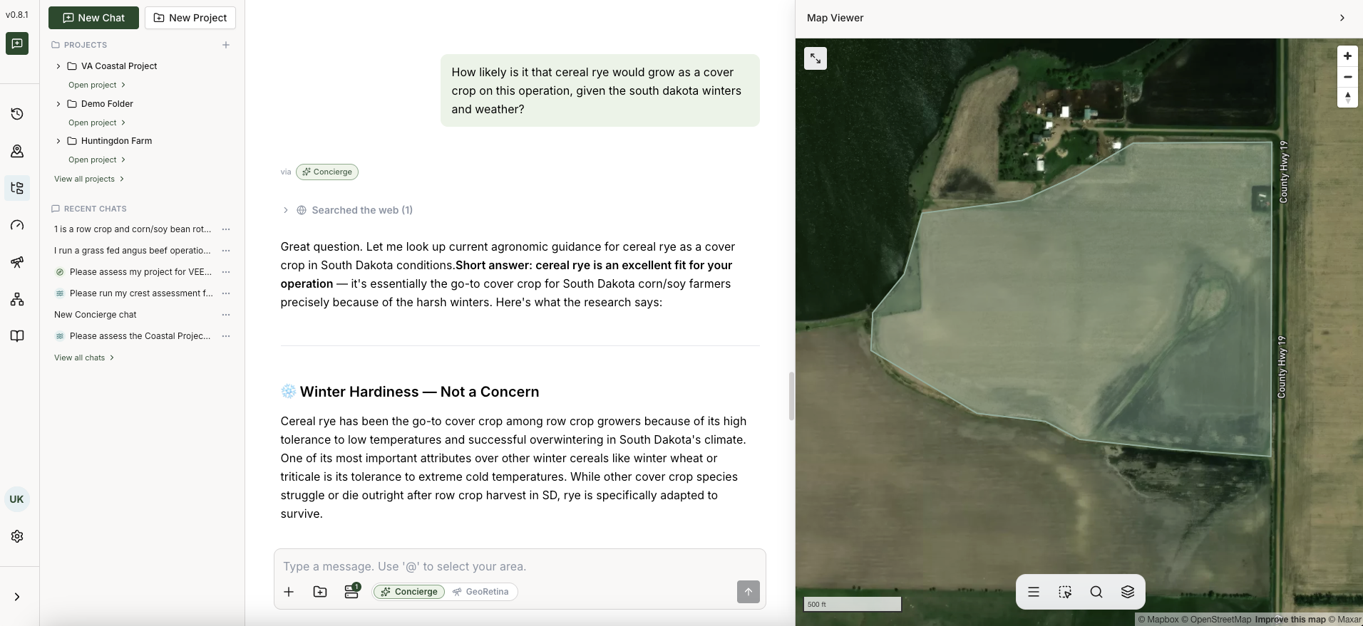
Conservation Concierge, a new tool being developed by The Commons, a nonprofit, allows users to map out their field boundaries, upload their own farm data, and use artificial intelligence to scope out potential conservation practices that could help address their resource concerns while also considering their region, climate and soils. The Campbell Foundation has paid for the development costs of the project.
“With Conservation Concierge, we’re really working to streamline a number of the functions associated with farm-level conservation planning and assessment,” said R. John Dawes, executive director and co-founder of The Commons. "We’re tackling this through the lens of using AI to help make some of the traditional assessments on farms significantly easier, and I would also say democratized so you don’t necessarily have to be a deep geospatial nerd like myself to be able to get insights about what could go on your operation.”
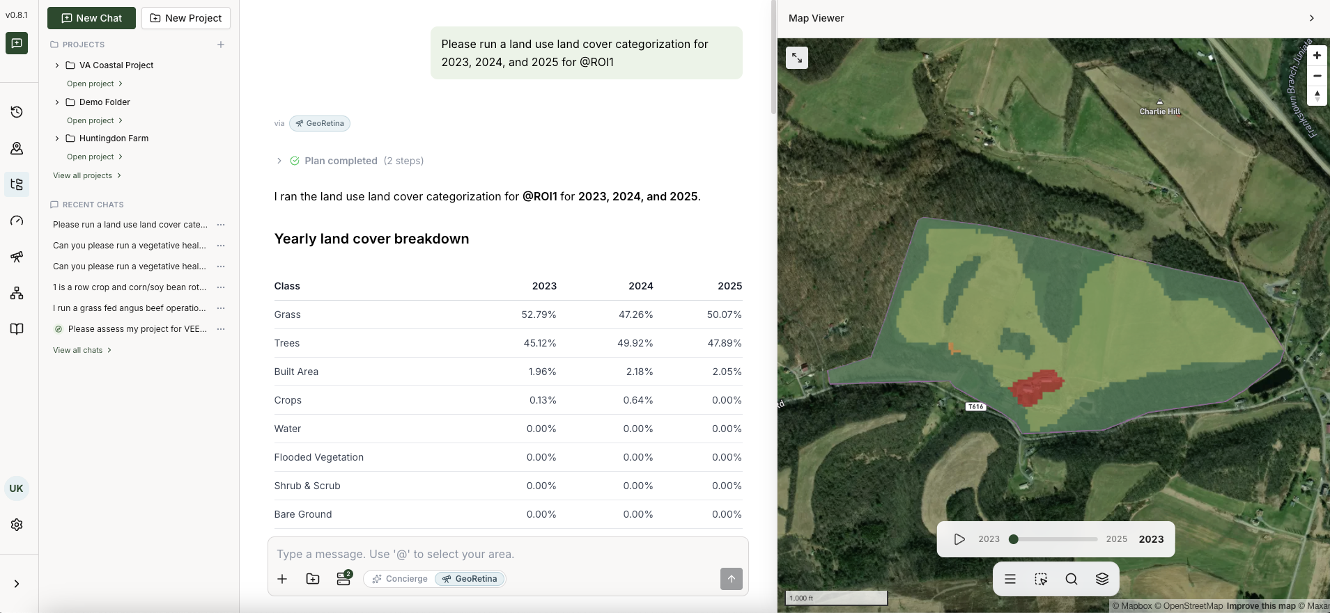
Using an AI chat function, the user can ask questions about specific resource concerns, analyze estimates of potential values and costs of various conservation practices, and get tailored advice for specific parcels. During a demonstration of the program for Agri-Pulse, Dawes said Conservation Concierge also aims to help technical service providers more easily conduct land analyses, some of which are used in conservation plans or practice planning frameworks, that normally take weeks or months of effort.
Alex Echols, a program strategist for agriculture at the Campbell Foundation, said the program was first developed to address two questions. The first was “how do we make it easier for farmers to sign up for and access federal conservation?”
The second was how to make analyzing both the on-farm benefits and conservation benefits of various practices more efficient for conservation planners, crop advisers and USDA officials. He said enrolling in conservation programs can be “really cumbersome, really expensive and there’s a real capacity gap.”
Dawes said farmers can also upload their own “footprints” of field boundaries from GIS-based tools or from equipment they use to monitor their own practices from GIS-based tools into the program. Echols said data farmers upload from precision yield monitors or other sources are treated confidentially.
Dawes said the program will initially be priced at $270 a month for users following a 14-day free trial. He anticipates interest from technical service providers, nonprofit conservation groups and watershed organizations in the program.
Echols expects the software to become available later this month.
Roy Hoagland, a senior program officer for the Virginia Environmental Endowment, told Agri-Pulse he believes the program holds the potential for offering “a holistic way of both planning and implementing your conservation practices so that you can take a look at your farm from both an economic outcome perspective as well as an environmental outcome perspective.”
“It gives you the opportunity to think a lot less outside the silos that the standard programs put us in,” Hoagland said. What “Conservation Concierge does is allow you to transcend those boxes so you can look beyond just a single field, beyond a single parcel. You can look at what makes sense both economically and environmentally for putting your buffer in or injecting your manure from a very comprehensive, strategic, holistic perspective, and they do it in a way that’s pretty user-friendly."
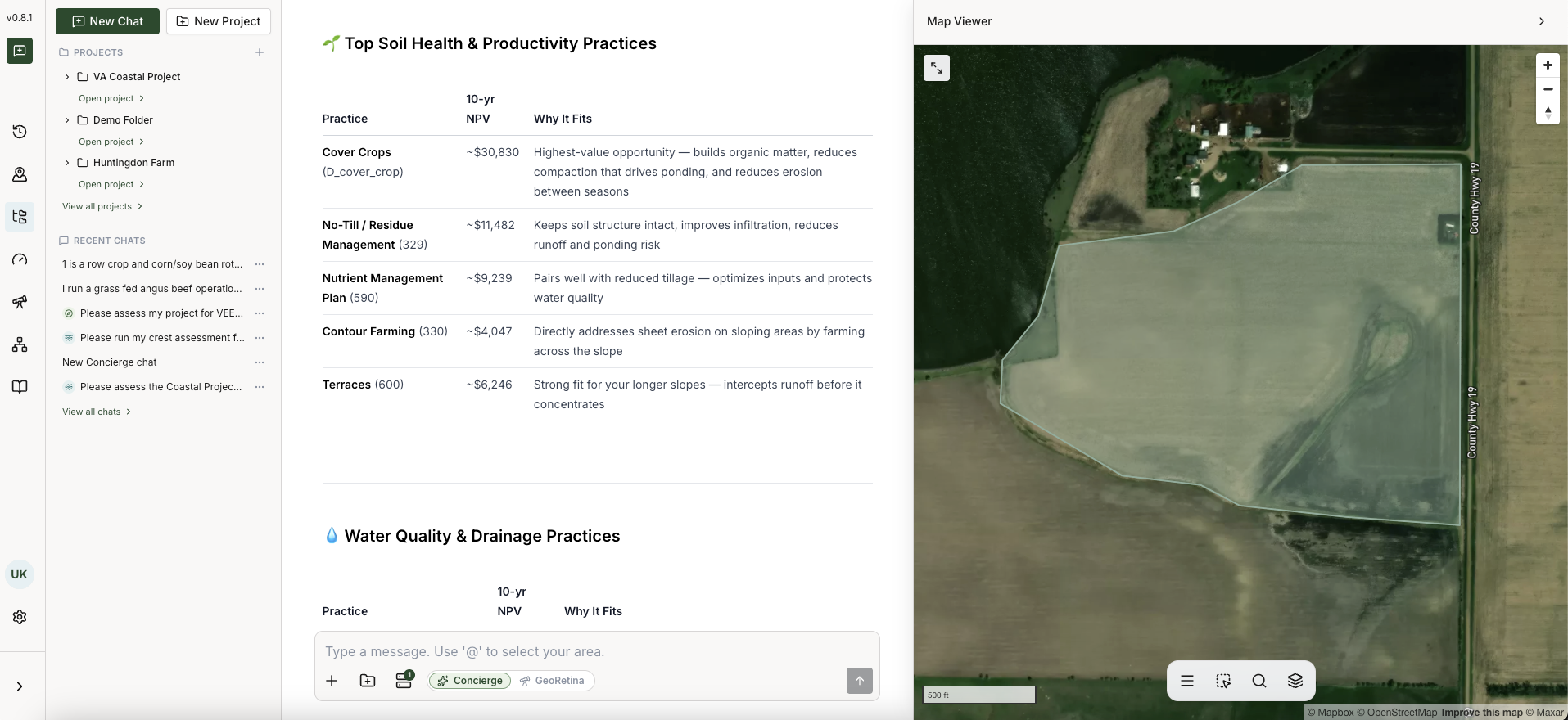
During the demonstration, Conservation Concierge's chat function did offer 10-year net present value estimates for a number of conservation practices, like cover crops, no-till, nutrient management planning, contour farming, and terraces, for a 55-acre example parcel of land in South Dakota. The 10-year net present value estimates ranged from $4,047 for contour farming to $30,830 for cover crops.
Net present value is a metric used to calculate the benefits and costs of a conservation project over a certain period to gauge whether an investment is worthwhile.
“I like the intent, the chance to equalize things,” Knight said. “It’s criminal that folks have to hire folks like myself to get their way through the conservation programs. Conservation Concierge is an equalizer to that."
For more news, go to Agri-Pulse.com.