Abnormally high temperatures in the Atlantic Ocean this summer have increased the chances of storms that could develop into hurricanes this year, researchers at the National Oceanic and Atmospheric Administration said last week in an analysis that also predicted El Niño would continue through the winter.
A lingering El Niño, which NOAA analysts predict with 95% confidence, could lead to more precipitation throughout parts of the U.S., including southern California, but drier conditions in others, including the Pacific Northwest.
It also could increase global temperatures, which have been breaking records this summer.
“El Niño is just getting started, and we’re seeing high sea surface temperatures in the Pacific, (which is) the hallmark of El Niño,” said climate change expert Andrew Pershing of Climate Central on a SciLine webinar.
El Niño will boost global temperatures, he said, but added that those increases usually come six months after the start of an El Nino event. “So, what we’re seeing this summer, we are not yet even feeling what El Niño is.”
In May, NOAA’s Climate Prediction Center forecast 12 to 17 named storms this season (those with winds above 39 mph); the agency recently upped that range to between 14 and 21. NOAA researchers also bumped their prediction for hurricanes from 5-9 to 6-11. The range for major hurricanes went from 1-4 in May to 2-5 in last week's update.
The likelihood of an above-normal season for hurricanes has gone from a 30% chance in May to 60% now, NOAA said. Chances of a “near-normal” season have fallen to 1 in 4, or 25%.
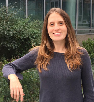 Michelle L'Heureux, NOAA
The increase in the probability of storms and hurricanes “has nothing to do with El Niño per se,” said USDA meteorologist Brad Rippey. “It's really because the water is so incredibly warm in the formation zone and really throughout the entire Atlantic basin, that the forecasters now believe that there will be a large number of storms developing over the next three-plus months due to that warm water and also active African monsoon, which brings a lot of thunderstorm clusters off the African coast into that formation zone.”
El Niño “tends to increase wind shear in the Atlantic sector,” NOAA physical scientist Michelle L’Heureux said. “That can rip apart storms. But this year is exceptional because the sea surface temperatures in the Atlantic are off-the-scales warm.”
Those warm temperatures could help keep a storm, which might in previous years have been shredded by wind shear, alive.
Hurricane experts, L’Heureux said, are “concerned about the sea surface temperatures, because they just feel like if anything gets going, then it could potentially have a major impact.”
Rippey noted how in June, hurricanes Bret and Cindy “started their way across the Atlantic and then they just got shredded by wind shear. That could happen – we might get a lot of storms that just don't make it very far or don't get very strong.”
However, he added, “there's always the risk that a storm or two or three could sneak into a more favorable environment and become a really horrific hurricane.
Don't miss a beat sign up for a FREE month of Agri-Pulse news! The latest on what’s happening in Washington, D.C. and around the country in agriculture, just click here.
Rippey also said that during the winter months "there is a slight tilt in the odds towards wetter conditions in Southern California,” Rippey said.
“That doesn’t mean that we're going to go through the same thing that we saw last year in California, which had absolutely nothing to do with El Niño, because it wasn't with us yet. But there does tend to be a very active subtropical jet stream during El Niños. And if that does impact, say, central or southern California, that can lead to very heavy atmospheric river-type events like what we saw last year.“
Along with the “slightly enhanced risk of more wet weather, particularly in southern California,” Rippey says “the opposite is true” further north along the Pacific Coast.
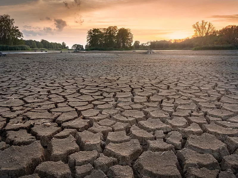
Washington and Oregon, and parts of northern California as well, could be drier than normal, posing challenges for winter wheat growers and livestock producers.
“It's very dry in a lot of the ag areas of Washington and Oregon right now,” Rippey said. "Some of that dryness extends across the Rockies into Montana and the Dakotas, as well. So that would be a concern for anything that's going to be planted here in the next couple of months.”
He also noted some of the rangeland is "in pretty rough shape there. So, you hate to go into winter with your rangelands in bad shape, because they're not going to recover until spring.”
Rippey said that the presence of El Niño is generally associated with wetter weather in the continental United States, while the presence of La Niña is associated with drier conditions. But that does not mean “that the entire country is going to be wet,” Rippey said.
NOAA's L’Heureux cautioned, “You certainly can't take the probabilities for El Niño and equate them to the temperature and precipitation over the United States.”
For more news, go to www.Agri-Pulse.com.
