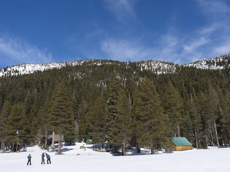
As we approach the traditional “peak” snowpack date near the end of the month, the Sierra Nevada snowpack is going to end the year just over half of average – around 55%, says USDA meteorologist Brad Rippey. “We have a 15 inch snowpack – if you melt all of the water in that snow. Typically, we’d like to get closer to 30 inches in a normal year.” Rippey told USDA Radio. “So, a very disappointing year for the Sierra Nevada snowpack watershed.”
Rippey said the winter wet season of 2021-22 “started with a bang in October and another round of significant precipitation in December, but the other months have been drier than average. This is the third consecutive year - 8 of the last 11 - with below average winter accumulation of snow “so that will result in some necessary cutbacks of allocations.”
Looking for the best, most comprehensive and balanced news source in agriculture? Our Agri-Pulse editors don't miss a beat! Sign up for a free month-long subscription.
Areas that are doing a little better this year from a hydrologic standpoint, include areas from the Wasatch range in Utah, eastward to the Central Rockies and parts of the northern tier of the region from the Northern Cascades to the northernmost Rockies, Rippey noted.
For more news, go to: www.Agri-Pulse.com
