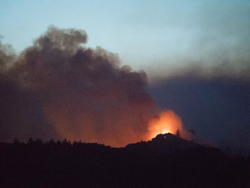
The Biden administration on Tuesday released a 10-year strategy for wildfire prevention that targets high-risk areas where communities, infrastructure and natural resources are endangered.
The Forest Service plans to work with the Interior Department as well as tribes, states, local communities and private landowners and other partners on landscape-scale projects for reducing hazardous fuels such as trees, shrubs and grasses and for improving forest health.
The Forest Service intends to treat up to an additional 20 million acres on national forests and grasslands and assist with projects on an additional 30 million acres of other federal, state, tribal and private and lands.
The bipartisan infrastructure bill enacted last fall provided $3 billion for the work.
“The negative impacts of today’s largest wildfires far outpace the scale of efforts to protect homes, communities and natural resources,” said Agriculture Secretary Tom Vilsack.
“Our experts expect the trend will only worsen with the effects of a changing climate, so working together toward common goals across boundaries and jurisdictions is essential to the future of these landscapes and the people who live there.”
The “firesheds” that are the focus of the strategy are typically about 250,000 acres in size.
The initial work will start in areas that are considered at highest risk because of community exposure to fire. Those regions include areas of the Pacific Northwest, the Sierra Nevada in California, Colorado’s front range, and the Southwest.
Looking for the best, most comprehensive and balanced news source in agriculture? Our Agri-Pulse editors don't miss a beat! Sign up for a free month-long subscription by clicking here.
According to the Forest Service plan, ‘fuel buildups have now reached crisis proportions” in western states.
The plan cites an area near Colorado’s Cheesman Reservoir, which supplies water to Denver, that was much more open a year ago than it is now. Ponderosa pine forests that historically had 40 to 60 trees of all sizes per acre now have hundreds of trees per acres, “including thickets that erupt into devastating wildfires when ignited by people or dry lightning," the plan says.
More than 10 million acres of forest land, an area nearly twice the size of New Jersey, burned in each of 2020, 2017 and 2015, according to USDA.
For more news, go to Agri-Pulse.com.
