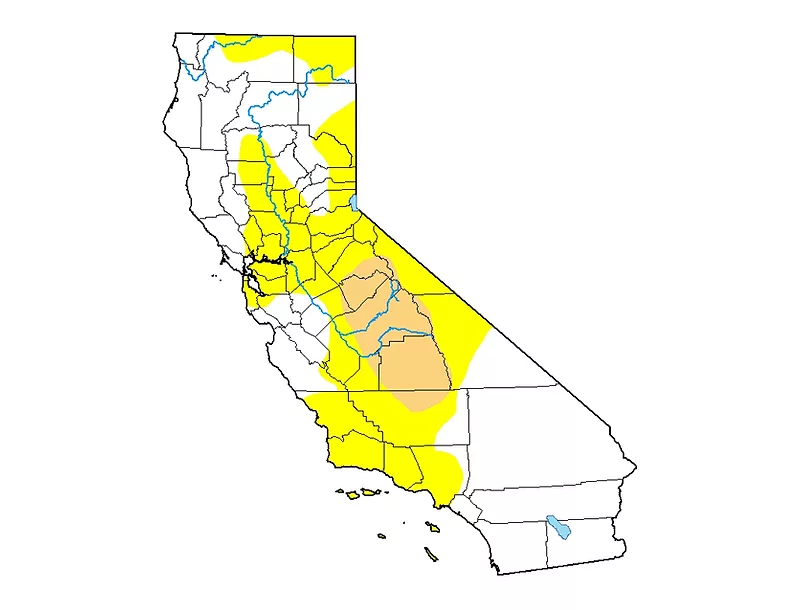
USDA meteorologist Brad Rippey says there has been very little snow added to the overall Sierra Nevada snowpack since late December and “we’ve had almost no addition to the snowpack at all since mid-January.” In an interview on USDA’s Newsline, he notes that we’re past the two-third’s mark on typical snow accumulation. “We see the average water equivalency of the Sierra Nevada snowpack stuck at right around 12 inches” even though “we should be well over 20 inches at this point. I like to remind people we like to get near 30 inches by the end of March. It looks increasingly unlikely we will be able to attain that level this year.” Rippey says. The fact that the accumulation of snow has effectively stopped in California does not bode well for spring runoff, he adds. “The saving grace in California is that reservoirs are still in good shape from last year, so it will take awhile for the effects to be felt.”
Top photo: The U.S. Drought Monitor shows parts of the Central Valley in moderate drought (brown), while the state is experiencing abnormally dry conditions more broadly.
